. Suggan Buggan 8524-S")

Lower Murray River
Digest of the key info for towns and weirs below Bringenbrong.
History and logistics of finding the source
When you drink water, think of the source whence it comes.
Indi Springs is officially recognised to be the source of the Murray River. It is located about 180 m along the Black-Allen line at 36° 47' 49.2" S, 148° 11' 48.3" E.
There are three main ways in which you can access the springs. These are listed as option A, B, and C on the map.
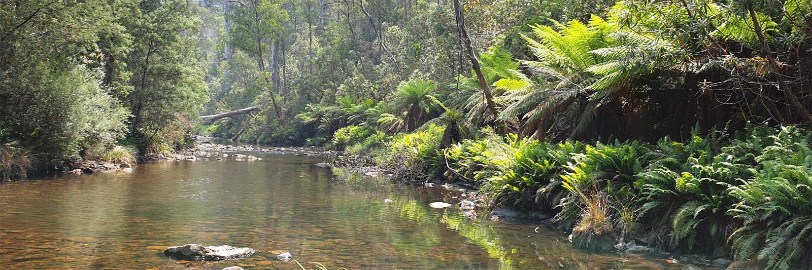
Option A is the most common path taken. Starting at Cowombat Flat, walk up the Murray River until you reach Townsend Corner at the beginning of the Black-Allen line. From there, head ESE along the border until you find the spring.
Option B is to walk down Macfarlane Flat Track before cutting north to the Murray, and then proceeding as option A.
Option C is to cut across from Cowombat Trail (NSW).
These all require off-trail hiking through bush that can get fairly thick at times. There are plenty of snakes around, so it is best to wear boots and long pants, preferably with gaiters.
For those who go directly to Forest Hill Cairn #1, located on the edge of the saddle between the knolls of Forest Hill, you can follow the line of rocks 22.5 chains (452.6 metres) northwest to reach Indi Springs.
Based on old reports, it was estimated that finding the source would take a day, but I found it to be an easy walk following the Murray from Cowombat Flat in fairly open terrain to the Black-Allen line. This took me about an hour one way. However, if feral animal control is regularly done in the area, specifically targeting horses and deer, the bush will likely become thicker and make the trip more challenging. I exited directly to the Cowombat Trail (Option C), and found this to be fairly thick bush with a lot of scrambling over fallen logs.
The RMIT survey group placed a steel pipe at the spring in December 1984. A visitor book is available for signing in a canister attached to the pole.
The source of the Murray River was indirectly determined by the Act of Separation Bill, 1851, which legislated the separation of NSW and VIC. The border is defined as "a straight line drawn from Cape Howe to the nearest source of the Murray River." Townsend first surveyed this in 1846 and concluded that the seep below Forest Hill was the most eastern source, a finding confirmed by Black in 1869. Townsend’s spring was officially named Indi Spring in 2006, which is the local Aboriginal name for the upper Murray River.

Limestone Creek is a likely alternative for the true geographic source if all sources within the alpine areas of VIC/NSW are considered. Its catchment area is nearly three times that of the Murray, and the Strahler stream order would classify Limestone Creek as the major of the two streams. Having seen the junction in person, it feels like the Murray joins Limestone Creek rather than the other way around, and it's easy to miss the Murray looking back upstream.
The Swampy Plain River confluence (via Indi Backwater) is considered by some to be the start of the Murray, just 2.5 km upstream of Bringenbrong Bridge. This is due to the false impression of this being the larger river. However, it would have been considerably smaller than the upper Murray River before the Snowy Mountains Hydro Scheme diverted water from the Snowy and Murrumbigee rivers for hydro power. This water is released into the Khancoban Pondage that feeds Swampy Plain River. This marks the location where the river can be paddled for most of the year due to the fairly constant regulated release from the hydro scheme/pondage. The Swampy Plain River catchment (88,700 hectares) is about two-thirds of the size of the Murray catchment above the confluence (139,500 hectares).
It would be interesting to discover the history of the three rivers and what led to the smaller southeastern tributary being named the Murray. However, this is a moot point since the best current estimate for the true geographic source of the Murray-Darling Basin is the Condamine River in Queensland. This river flows for nearly 4,000 km before it reaches the ocean at the mouth of the Murray.

©2024 Alan Davison // Credit // Disclaimer