Major Tributaries
Details on some of the largest tributaries
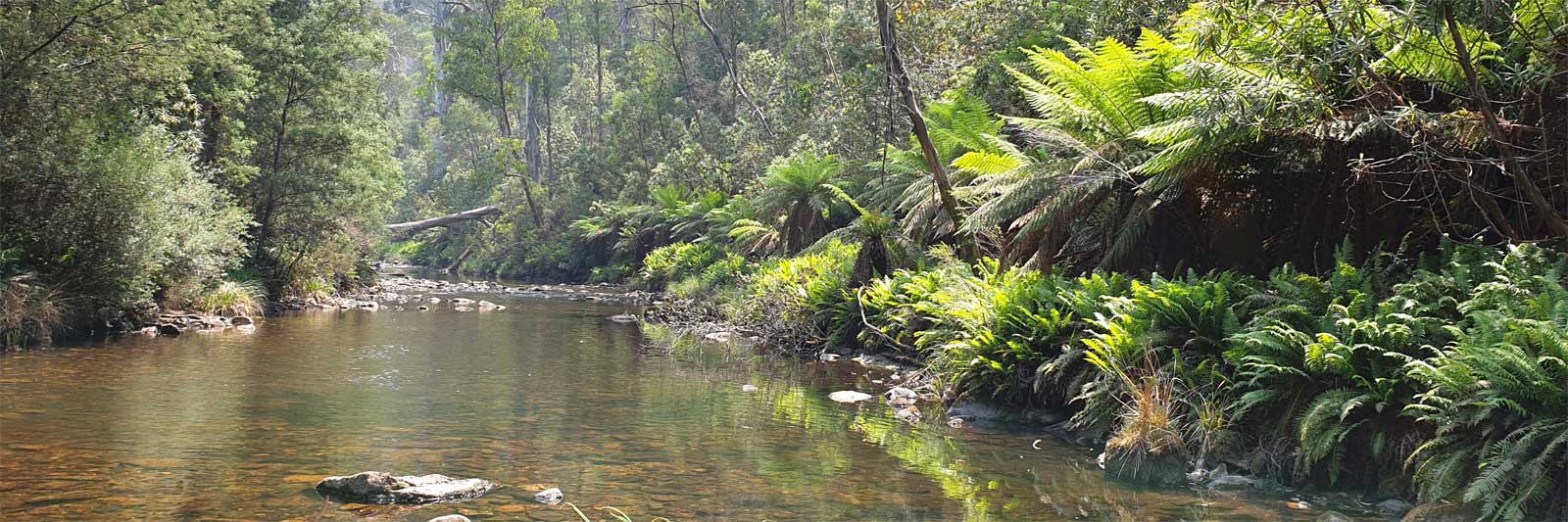
My personal take on the dangers of the trip
It is safest to complete the journey in a group of three or more. This allows one person to stay with the injured party while the third person cautiously continues on for help.
There is a risk of fire any time of the year but these are highest in the fire season. Check the conditions regularly, especially if there are active fires.
If in a remote area without coverage, if it is very hot or just hot and windy assume that there is a total fire ban. You will often smell smoke long before the main fire front.
Active fires can be tracked with a number of tools:
For more tips and hints on fire safety visit the fire service websites and check out my fire safety notes.
While it can get cold in winter, there is generally less risk compared to the alpine areas of the Murray. The biggest danger is likely the heat in summer and flash flooding and high flows in the upper Condamine sections.
High winds on open sections, especially the Menindee Lakes, could create rough conditions and choppy waves that could be unpleasant or even dangerous for inexperienced paddlers.
Windy.com is a great tool to visualise current wind patterns and WillyWeather.com.au is another useful site.
Don't panic about snakes, but take simple precautions and stay alert. They are most active during the warmer months and numbers are greatest after a good wet season where their food supply of mice and frogs can support higher populations.
Having completed half of the trip, I have only seen one brown snake that happened to be swimming across the river.
Some advice and precautions about snakes can be found here.
There is a high level of contamination from the upper reaches of the system and you should always treat the water.
All of the major Australian rivers will have a risk of these during the warmer months and the Darling River is no exception. Unlike other major rivers, blooms are likely missed and warnings will not be issued.
Read a bit more about it here that includes some warning information sites and contacts too.
In high flows it is recommended to carry a GPS unit to assist navigation when the river channel is not clearly defined. This is particularly useful in the Culgoa floodplains though it may prevent an accidental detour in Lake Kajarabie!
Key gear to take includes:
You will have to treat water along the way to make it fully safe to drink. I used a lightweight filter with backup options of chemical or boiling treatment. Refer to the Water Treatment page for various options on how you can clarify and treat water.
Before you leave areas with mobile reception, check fire dangers and bans as well as the long term forecasts and weather warnings.
Remember to register your trip with friends and family, making sure that they know when you expect to return. If you have a PLB, update your trip plans online.
The two leading causes of death kayaking are drowning and exposure (hypothermia).
Hypothermia is not a huge concern as long as you have dry clothes to change into. At Bourke the water temperature varied from 10°C in winter to 30°C in summer. Higher sections of the Condamine would have more risk in winter, though even there frosts are rare and snow is almost unheard of. The water temperature at Warwick rarely gets below 5°C.
The risks of drowning are greatest with whitewater kayaking, but even flat water kayaking has its own dangers, especially when you have to plan your trip around flooding rain that means you will be kayaking through the tree tops at times.
Weirs are also unmarked and you should remain vigilant. They are known as drowning machines for good reason!

©2024 Alan Davison // Credit // Disclaimer